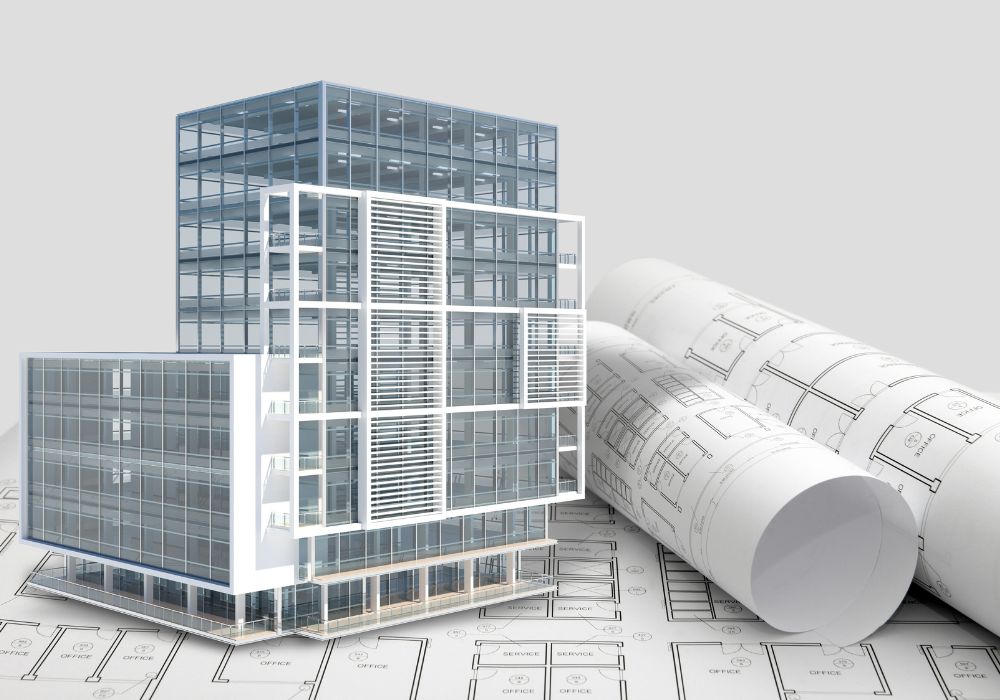
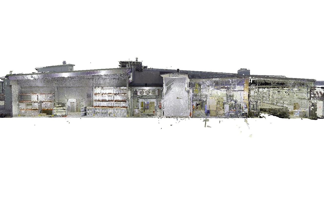
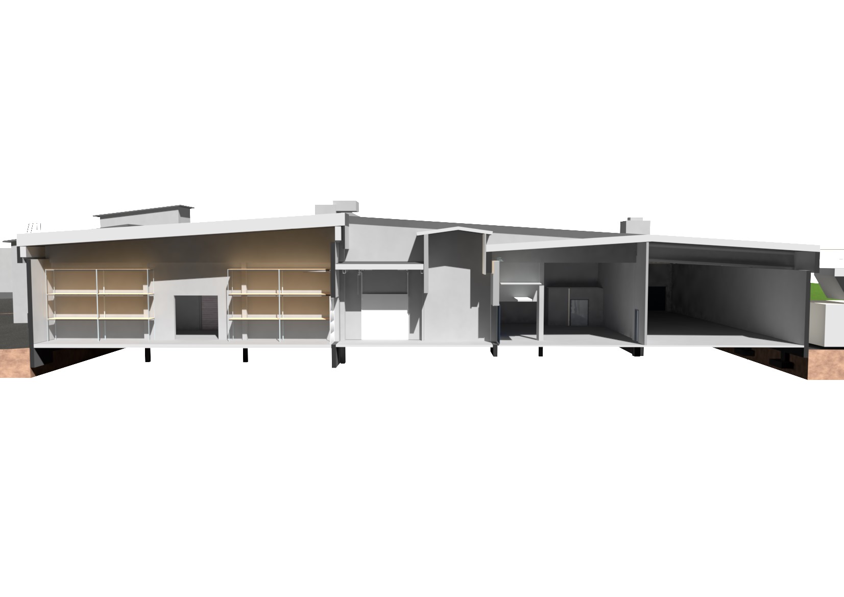
Point clouds are a valuable technology in the construction industry that enables accurate data collection and the creation of 3D models. It provides a unique opportunity to accurately recreate existing buildings and terrains, leading to even more accurate and innovative solutions.
Here are some interesting things to know about the use of laser scanning:
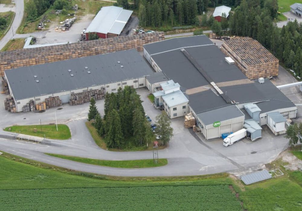
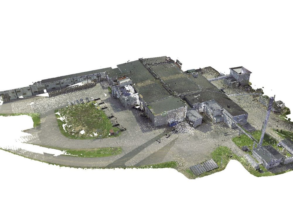
- Data collection: Laser scanning is a method of collecting large amounts of detailed 3D data. This technology makes it possible to obtain an accurate and detailed view of existing buildings, land surfaces or project areas.
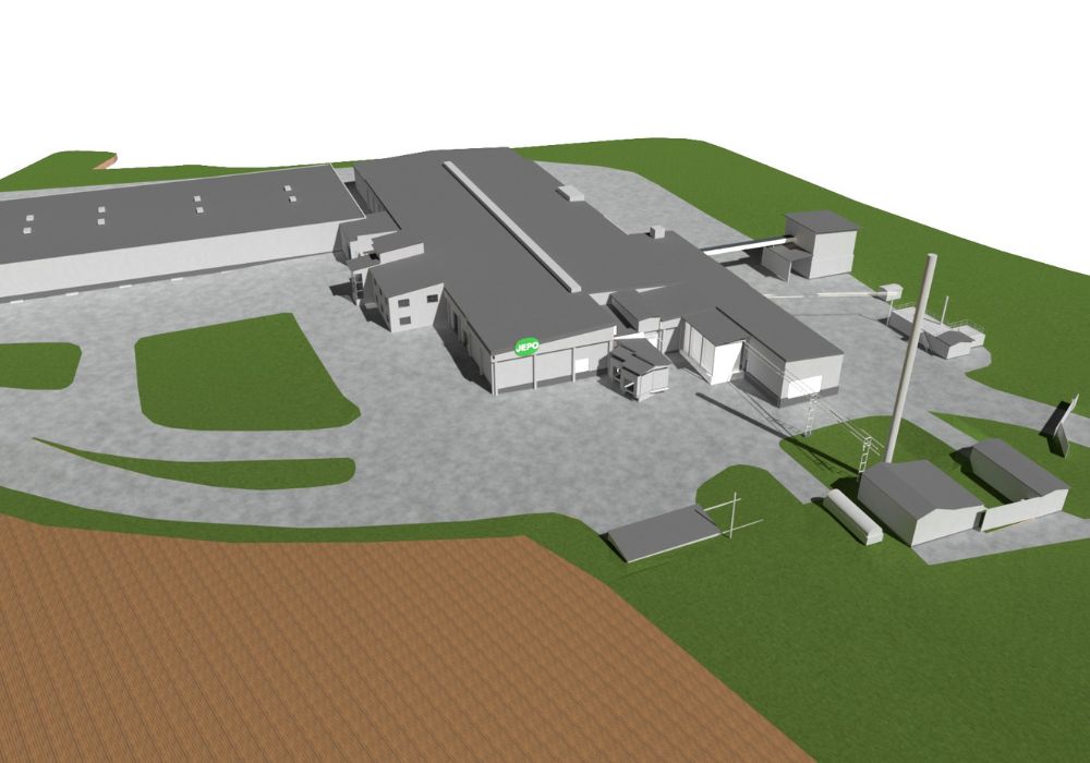
- Basic for drawings: Point cloud data is information for creating 3D models of existing buildings or surroundings. It provides a basic set of data that architects and engineers use when planning new projects.
- Visualization and analysis: Point cloud data can be used to create visual representations of buildings and environments. This can be useful for analyzing the condition of buildings, identifying any deviations from drawings and making precision measurements.
- Construction planning: The planning process uses point cloud data to design new structures that fit into the existing environment. This helps to avoid conflicts with existing structures and provides an accurate basis for planning and design.
- Time and cost savings: Using point cloud data can make construction projects more efficient and cost-effective. It reduces the need for extensive field surveys and drawing revisions.
- Final drawings: (As built) A laser scan quickly provides the new building’s as-built materials and the basis for final drawings and future 3D modelling. This can also be used to check the deviations of the building in relation to the planning.
- Maintenance and renovation: By laser scanning a newly built project, point cloud data can be useful for maintenance and renovation. It provides a current reference point to monitor changes and improvements over time.
- Safety: By using drones or other remote-controlled off-road devices to collect point cloud data, dangerous sites and hard-to-reach areas can be inspected without endangering personnel.
Read more about our point cloud scanning to 3D modelling projects, contact us for a quote!