3D from point clouds
Point cloud to 3D model
How do you turn an existing building into a realistic 3D model?
Today, many people ask how to get a drawing into a model that is reality-based on the building in front of you, and get accurate drawings and models that you can work on. And above all, being able to visualize future plans more accurately so that it facilitates and clarifies decision-making at an early stage of the project. This is an economic saving right at the beginning of the planning process.
The answer is laser scanning, point clouds and 3D modelling.
For the developer, there is a great benefit in having point clouds and 3D models for maintenance and service. These can be linked to various maintenance and service programs for technology and processes.
Together with our partner Ab Ostromap Oy, we carry out this work/process. The work is carried out so that the building is laser scanned, all data is collected into a point cloud that is processed and refined into a 3D model that is mainly used by architects and planners.
Get in touch
Click the button below and fill in the contact form to request a quote!
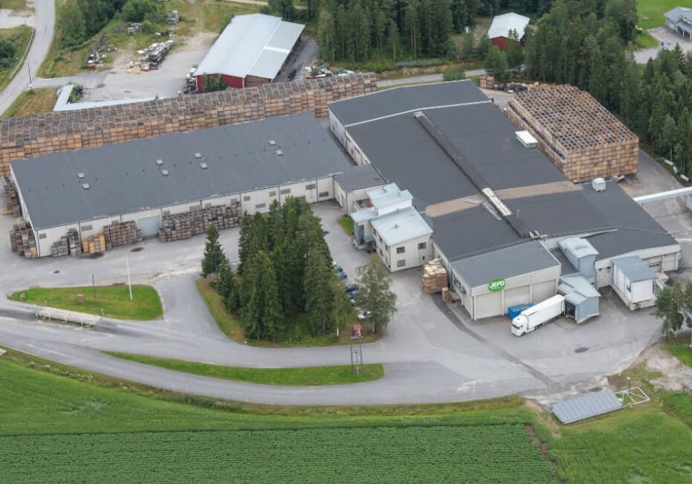
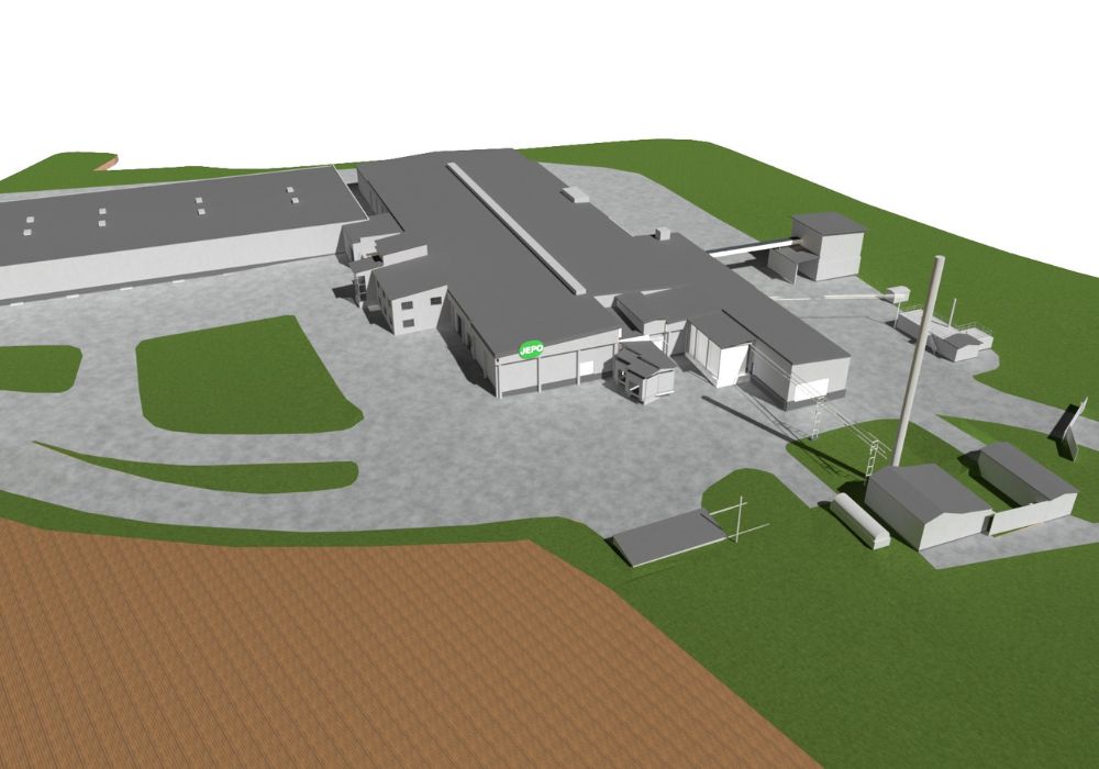
Aerial view
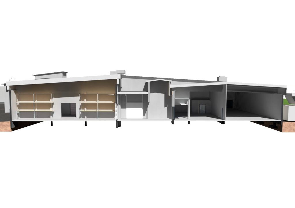
3D model
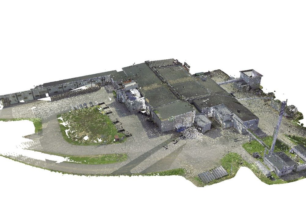
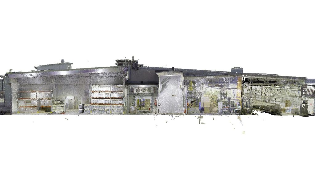
Cutted point cloud
into 3D model
Contact
Marcus
Jansson
CEO
- Indoor climate expert, cost calculation
- Pietarsaari
- +358 50 465 2342
- marcus.jansson@kronqvist.com
Yvonne
Isakas
PLANNING MANAGER
- Concrete and steel structures, 3D
- Pietarsaari
- +358 44 281 0813
- yvonne.isakas@kronqvist.com

Jockum
Engström
CONSTRUCTION ENGINEER
- Building design
- Pietarsaari
- +358 50 531 0698
- jockum.engstrom@kronqvist.com

